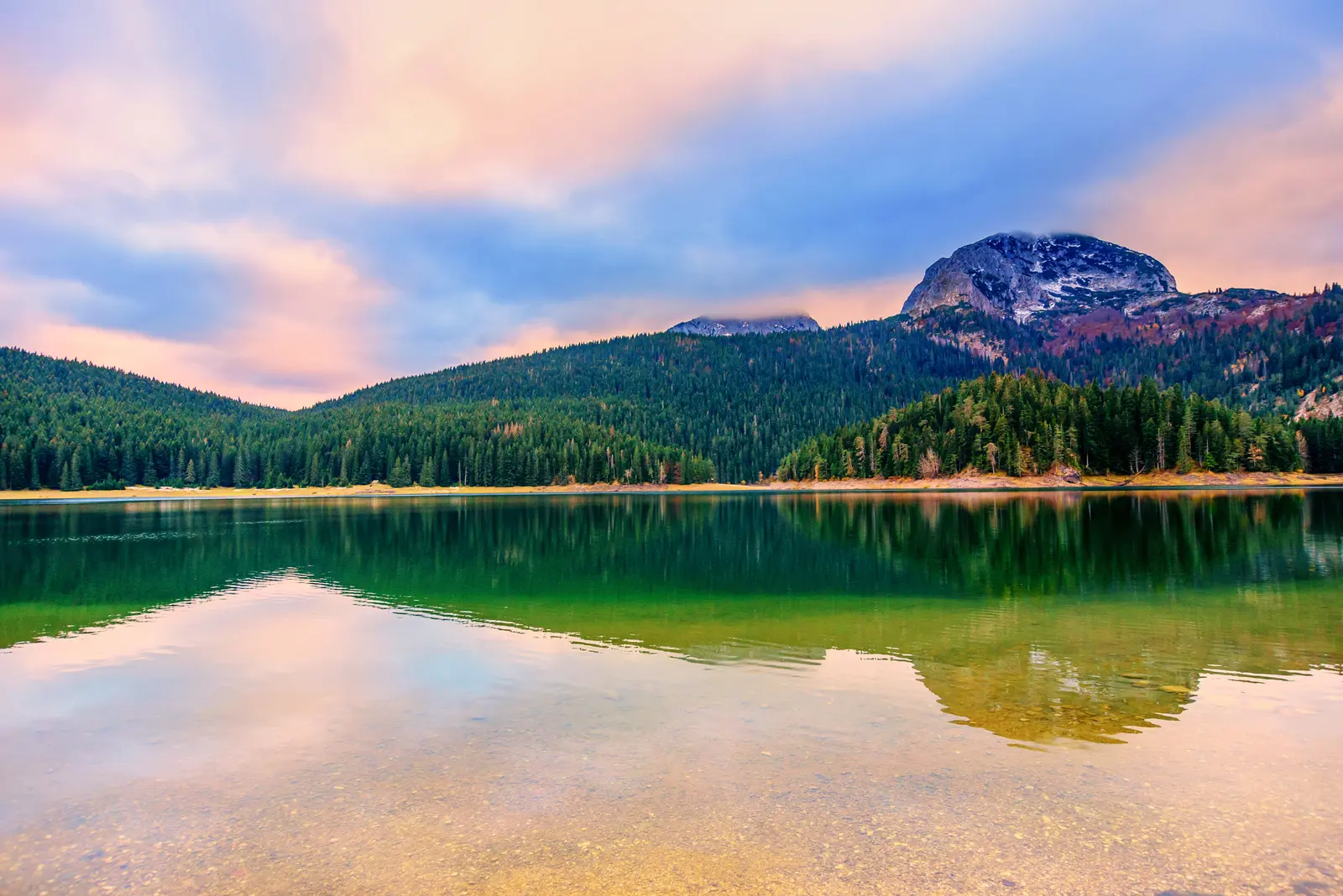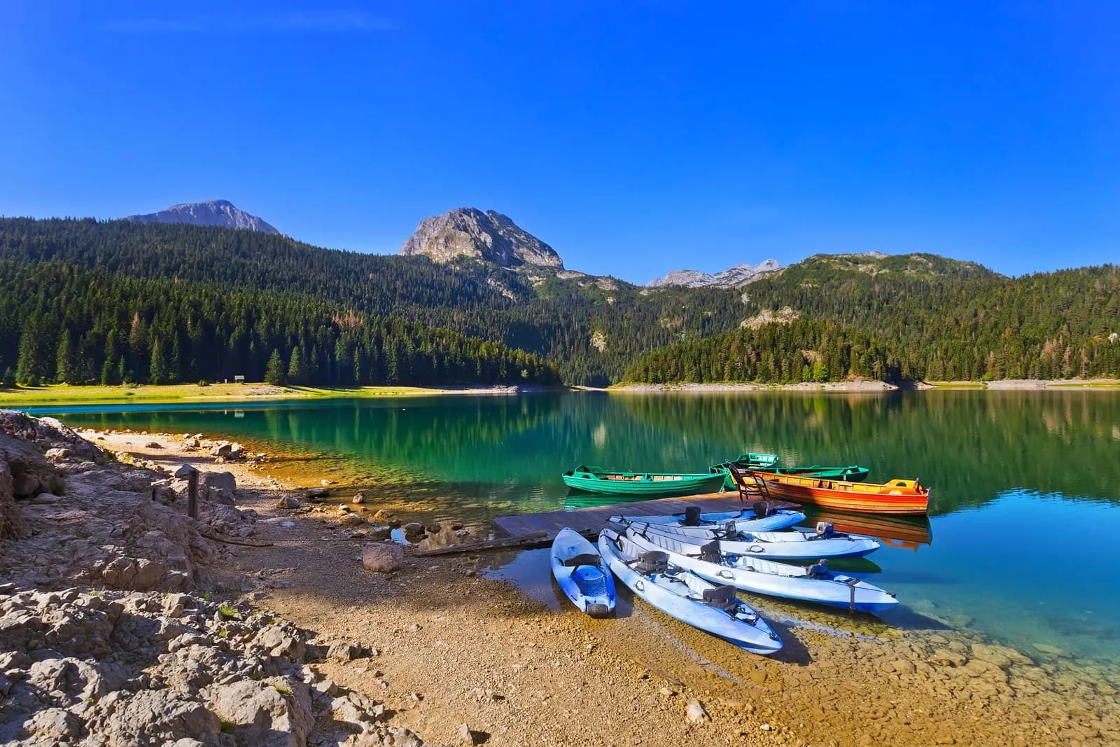
Black Lake is Durmitor’s easiest landscape to recognize, but not a one-hour promise. Montenegro’s 2026–2030 park plan describes an approximately 4 km educational trail around Crno jezero, with information panels and rest furniture. The same plan says the park’s marked routes have different lengths and difficulty, while trail maintenance and signage still need improvement. Weather, roots, mud, snow, ice, temporary damage and personal mobility can all change what “a walk around the lake” means.
This guide separates the dependable core—a protected glacial lake inside a 32,100 ha UNESCO property—from decisions that must be made on the day. Start with the entrance-side shore and current park information. Continue only while signs, surface and weather agree. Save Bobotov Kuk, the Ice Cave and other mountain objectives for a separately planned hike, not an impulsive extension of a lake visit.
| Verified | Do not assume |
|---|---|
| Durmitor is a 32,100 ha UNESCO property | Every place shown online is equally accessible |
| Black Lake has Big and Small basins | The connecting water always looks the same |
| The educational trail is about 4 km | Every visitor completes it in one hour |
| The park has routes of differing difficulty | A lake start means an easy mountain finish |
| Closures and warnings have occurred | A seasonal label proves today’s route is open |
| The signed Durmitor Ring is 76 km | The high road is passable in every month |
What is protected at Durmitor?
What the sources say
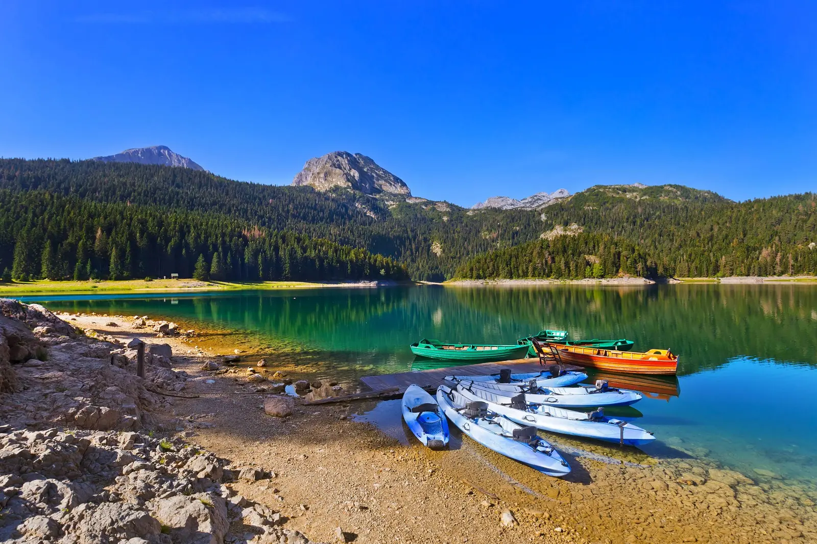
UNESCO lists Durmitor National Park under natural criteria (vii), (viii) and (x). The property was inscribed in 1980 and its boundary was significantly modified in 2005 to coincide with the national park boundary. Its 32,100 ha include the Durmitor massif and the canyons of the Tara, Draga, Sušica and Komarnica, a landscape shaped by glaciers, rivers and underground streams.
What the sources say
The conservation chronology reaches further back. UNESCO records protection for Black Lake in 1907, establishment of the national park in 1952 and designation of the Tara River Basin as a UNESCO biosphere reserve in 1976. The lake is therefore not scenery placed beside a tourist town; it is part of a protected hydrological and ecological system with more than a century of formal conservation history.
Exact mountain counts differ even across public institutions. UNESCO says “some fifty” peaks rise above 2,000 m and gives Bobotov Kuk as 2,525 m. Montenegro’s current park plan gives 2,523 m; older official hiking material has used 2,522 m, while tourism pages vary between more than 40 and 48 peaks over 2,000 m. Those differences reflect source, survey and counting conventions. They do not change the planning question: a summit is high alpine terrain, not an add-on to the lake circuit.
| Year | Status |
|---|---|
| 1907 | Black Lake protected |
| 1952 | National park |
| 1976 | Biosphere reserve |
| 1980 | World Heritage |
| 2005 | Boundary change |
Source: whc.unesco.org, nparkovi.me
Why Black Lake is two lakes
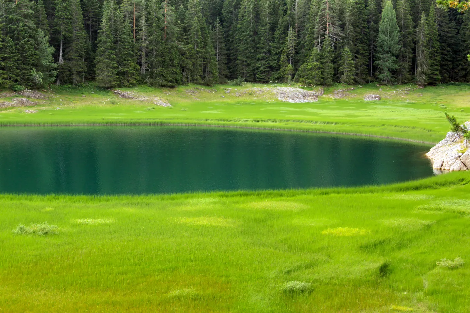
Crno jezero consists of Veliko jezero, the Big Lake, and Malo jezero, the Small Lake. Water level and season affect how clearly they appear joined. A narrow connection can make the pair read as one body of water during higher water and as more distinct basins when levels fall. A single photograph cannot represent every month or explain a particular day’s shoreline.
The 2026–2030 management plan identifies the lake’s unusual bifurcation: underground water from the Black Lake system drains toward two different catchments, the Tara to the northeast and the Piva–Komarnica system to the southwest. That watershed role is more significant than the familiar nickname “mountain eye.” It connects what visitors see on the surface with the karst hydrology below.
The same plan records ecological importance around the lake and across the park, including conifer, mixed and deciduous forest, alpine and subalpine habitat and mountain waters. It reports 172 bird species in the park, 112 of them breeding species, and identifies Durmitor as an Important Bird Area. These figures describe park-wide conservation value; they are not a promise that a short shore visit will produce a particular wildlife sighting.
| Basin | Drains toward |
|---|---|
| Big Lake | toward TARA |
| Small Lake | toward PIVA–KOMARNICA |
Source: nparkovi.me
The shore circuit: three valid versions
The park’s educational page estimates about one hour for the approximately 4 km trail. Read that as institutional orientation, not a guarantee. The park’s newer management plan gives the same approximate distance but does not promise one duration, one surface or universal accessibility. It also states that an additional visitor-centre building near the educational trail was not functioning when the plan was prepared.
1. Entrance shore and return
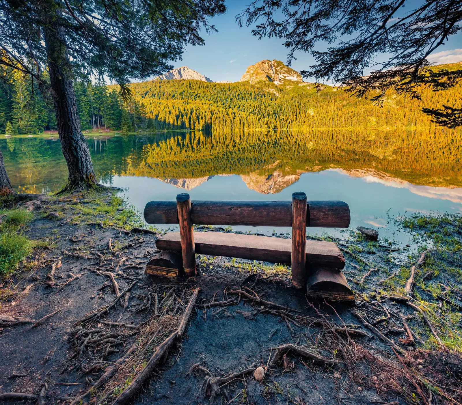
Best for a short visit, uncertain weather or limited mobility. Walk only as far as the signed, comfortable surface permits, pause at the principal views and return the same way. A partial walk is not a failed circuit; it is a complete lake visit with a lower commitment.
2. One-basin exploration
Continue around a chosen section while keeping the exit easy to reverse. This is useful when parts of the route are wet, rooted, snowy or crowded. Do not let a dry entrance path persuade you that every later segment has the same surface.
3. Full educational circuit
Attempt the full loop only after checking the current park notice, signs and trail condition. Allow more than the advertised hour if stopping for interpretation, photography or rest. Turn around for damage, ice, deep mud, falling branches, water across the route or any closure sign. Children need supervision appropriate to their age, footwear and the actual surface; the existence of a nearby playground is not evidence that every trail segment suits every child.
This conditional advice is grounded in experience the park itself has documented. In October 2024, National Parks of Montenegro closed the path because storm damage made parts unsafe. In April 2026, the park told visitors not to use Durmitor mountain trails or organize summit ascents because deep snow and weather made conditions unfavorable and rescue response difficult. Neither historic notice proves today’s status. Together they prove that status matters.
| Stage | What it means |
|---|---|
| Entrance shore | Inspect signs and surface |
| Short return | Lowest commitment |
| One basin | Preserve an easy retreat |
| Full circuit | Only if all checks agree |
| Any doubt | Closure, ice, damage or doubt = turn around |
Source: nparkovi.me