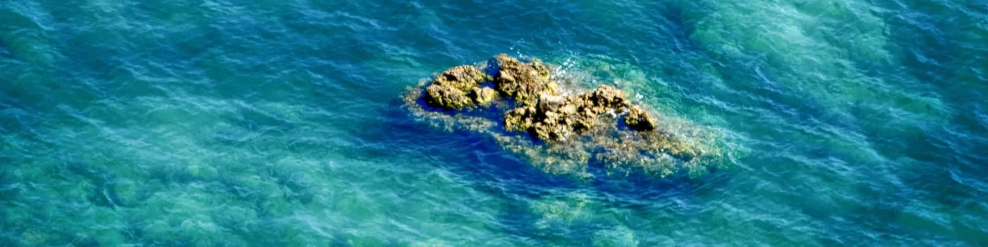
Montenegro’s last beach going west — and Montenegrin only since 1947, when 75 km² at the mouth of the bay changed republic on a handshake.
Njivice sits near the western tip of the Luštica peninsula, where the sheltered Bay of Kotor opens out to the Adriatic. It is a small, family-friendly settlement of stone houses and gardens, backed by Mediterranean scrubland, olive trees and pine, with quiet stony shores and clear, deep swimming water. The pace here is genuinely slow: there is no resort bustle, just a scatter of holiday apartments, a few cafes and the sea.
The riviera by size
Residents by settlement, 2023 census — the villages strung along the Herceg Novi coast road, and Njivice off it
The coast road east of town strings villages of a thousand and more. Njivice, on a side road west of Igalo, has 102 — the smallest seaside settlement in the municipality.
MONSTAT, Census 2023, settlement level
Who visits Montenegro
Share of foreign overnight stays, 2025
MONSTAT · 2025
The shore that changed republic
Whose Njivice this was. For two and a half centuries the village was Bosnian territory — Ottoman, then Austro-Hungarian, then Yugoslav — and the border that moved in 1947 was an internal one. Widths are to scale.
Wikipedia: Sutorina, Sutorina dispute; Blake & Topalović, The Maritime Boundaries of the Adriatic Sea (IBRU, 1996), p. 43; Slobodna Dalmacija, 16 June 2006.
A day at the last beach
One resort, one shore road, no nightlife
11:00the excursion boats leave for Žanjice, Mamula and the Blue Cave
13:00one end of the beach is partitioned off for naturists — the oldest registered such beach on this coast
16:00the wooded headland four kilometres south is Prevlaka, in Croatia
21:00the regulars are families with small children and older visitors; Herceg Novi is 6 km east, through Igalo
In the world's press
Njivice reaches the news twice over: whose it is, and who may walk onto its beach.
1935
Politika“Kraj u kome se udovica ne može udati” reports from the Sutorina, then administered from Trebinje, that residents were already asking for the anomaly to be put right.
2006
Slobodna DalmacijaRadoslav Dodig’s “BiH traži Boku?” of 16 June is still the cited source for how Sutorina, Igalo and Njivice left Bosnia and Herzegovina in 1947, and for what was given in return.
2015
Balkan Insight“Bosnian Claim to Adriatic Alarms Montenegro”: a resolution by the MP Denis Bećirović asks Sarajevo to reject the border agreement and claims Sutorina and Kruševice, which would give Bosnia a second access point to the Adriatic.
2018
Naturist Organisation of SerbiaFree land access to the Njivice naturist beach — one of the oldest on the Adriatic — is closed for the summer; the only way in on foot is a €20 spa day pass, and the alternative is a rented kayak.
The Vienna border treaty took effect on 20 April 2016.
1947
Meanwhile, in 1947
The year Njivice changed republic
Njivice,May 1947: an agreement moves the Sutorina strip — some 75 km², Njivice among its villages — from the People’s Republic of Bosnia and Herzegovina to the People’s Republic of Montenegro. Bosnia is left with one window on the Adriatic, at Neum.
The table —Avdo Humo and Đuro Pucar spoke for Bosnia and Herzegovina, Blažo Jovanović for Montenegro, with the permission of Tito and Vladimir Bakarić. Nothing was signed: the transfer was made by oral agreement between two republics of one federation.
In exchange —Bosnia and Herzegovina took the land east of the Sutjeska, including the villages of Kruševo and Vučevo under Maglić. Mountain for coast.
Sixty-eight years later —Bosniak officials called the 1947 handover illegal, and on 26 August 2015 the two governments settled it in Vienna. Montenegro’s parliament ratified on 28 December 2015, Bosnia’s presidency on 12 January 2016; the treaty took effect on 20 April 2016.
Voices
“Our position is clear and I do not see that anything can change it.”
Igor Lukšić, Foreign Minister of Montenegro
At a parliamentary hearing on the Sutorina claim, reported by Balkan Insight (BIRN), 30 January 2015. The border treaty was signed in Vienna seven months later.
“We respect the independence of Montenegro, but we also respect the principle “Theirs we don’t want, ours we don’t give”.”
Denis Bećirović, member of the Bosnian parliament
The MP who put the Sutorina resolution to Bosnia’s parliament, quoting a Tito-era slogan; Balkan Insight (BIRN), 30 January 2015.
Compare all hotels in Njivice
Search thousands of hotels and apartments with live prices.
Njivice is the last settlement on the Montenegrin side of the Adriatic coast road before the Croatian border, about 8 km west of Herceg Novi at the outer mouth of the Bay of Kotor. The border crossing at Debeli Brijeg is minutes away.
What are the beaches like?
A series of small pebble and rock coves rather than one long beach, some with concrete platforms, backed by pine and mimosa. They are among the cleanest on this stretch, since the open sea rather than the inner bay flushes them.
Is Njivice good for a quiet stay?
Yes — it is residential and low-key, with apartments rather than large hotels, and it stays calmer than Herceg Novi even in August. The trade-off is that you need a car or the coastal bus for anything beyond the beach.
How far is Herceg Novi?
About 8 km, or fifteen minutes by road, with buses along the coast through the day. That puts the old town, the Kanli Kula fortress and the Igalo spa within easy reach while keeping you outside the busy strip.
Is it convenient for Croatia?
Very. The Debeli Brijeg crossing is a few minutes away, and Dubrovnik is about an hour beyond it outside peak hours. Queues at the border build badly in July and August, so cross early or late.
What else is nearby?
The Lustica peninsula and the Blue Cave by boat from Herceg Novi, the Savina monastery above Meljine, and the Vrbanj and Orjen slopes behind the coast for walking out of season.
Does Njivice have an airport?
No — the nearest is Tivat Airport (TIV), 30 km away by road.
How warm is the sea at Njivice?
From about 13 °C in February to 25 °C in August. It holds above 22 °C from June to September, which is the swimming season. Regional normals from the Bar station, not a city-precise reading.
Is Njivice safe?
The UK Foreign, Commonwealth & Development Office (FCDO) has no advisory against travel to Montenegro; it last reviewed its guidance on 13 August 2026. That is their assessment of the country as a whole, not ours and not a judgement about Njivice, so read it yourself before you travel. The emergency number in Montenegro is 112.
The local plate
Japanese medlar
The microclimate here ripens subtropical fruit in ordinary garden plots: Japanese medlar, jujube, kiwi, banana and service tree. Njivice is known for what grows in it before it is known for anything built in it.
Where Garden trees above the shore road; otherwise the Herceg Novi market, 6 km east